.jpg)
Expect a low of four above Tuesday night with sub-zero wind chills
LAFOLLETTE, TN (WLAF)- Cold. Cloud cover is slowly its way in to try to prevent anymore drops in temperature this morning. The entire area is again expected to remain below the freezing mark for highs. Sunshine might even be a bit hard to come by compared to Monday. Today’s high struggles to 24 ahead of tonight’s low of 4 above. Dangerous wind chills settle in today and linger through tonight.
One last really cold night tonight, where a Cold Weather Advisory remains in effect.
It’ll be cold and dry through Thursday with a decent amount of flurries possible on Friday – no accumulations or impacts expected though. Widespread rainfall, and generally warmer conditions, possible Sunday into Monday.
Dry and cold conditions will continue through Thursday with temperatures making it above freezing to near 40-degrees. This will be the first time above freezing since Sunday afternoon.
…COLD WEATHER ADVISORY 7 PM TUESDAY TO 10AM WEDNESDAY…
* WHAT…Very cold wind chills as low as 10 below zero expected in the higher elevations. Wind chills near zero elsewhere.
* WHERE…Portions of Campbell County, southwest North Carolina, east Tennessee, and southwest Virginia.
* WHEN…From 7:00 this evening to 10 AM Wednesday.
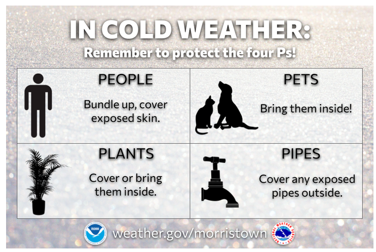
* IMPACTS…Very cold temperatures will pose a threat to pipes, pets, and people Tuesday night and Wednesday morning.
* ADDITIONAL DETAILS…Ambient temperatures alone will be dangerously cold, ranging near 10 above to single digits below zero.
* PRECAUTIONARY/PREPAREDNESS ACTIONS… Use caution while traveling outside. Wear appropriate clothing, a hat, and gloves. Dangerously cold air will remain through the middle of the week until temperatures begin to trend warmer closer to the weekend. (WLAF NEWS PUBLISHED-01/21/2025-6AM)