.jpg)
Severe storm potential looms Friday; snow and temps in the 20s Sunday night into Monday
LAFOLLETTE, TN (WLAF)- Ahead of weather changes Friday and again Sunday into Monday, expect a pleasant day today with plenty of sunshine and a high of 63. It’ll be mostly clear and 43 Thursday night.
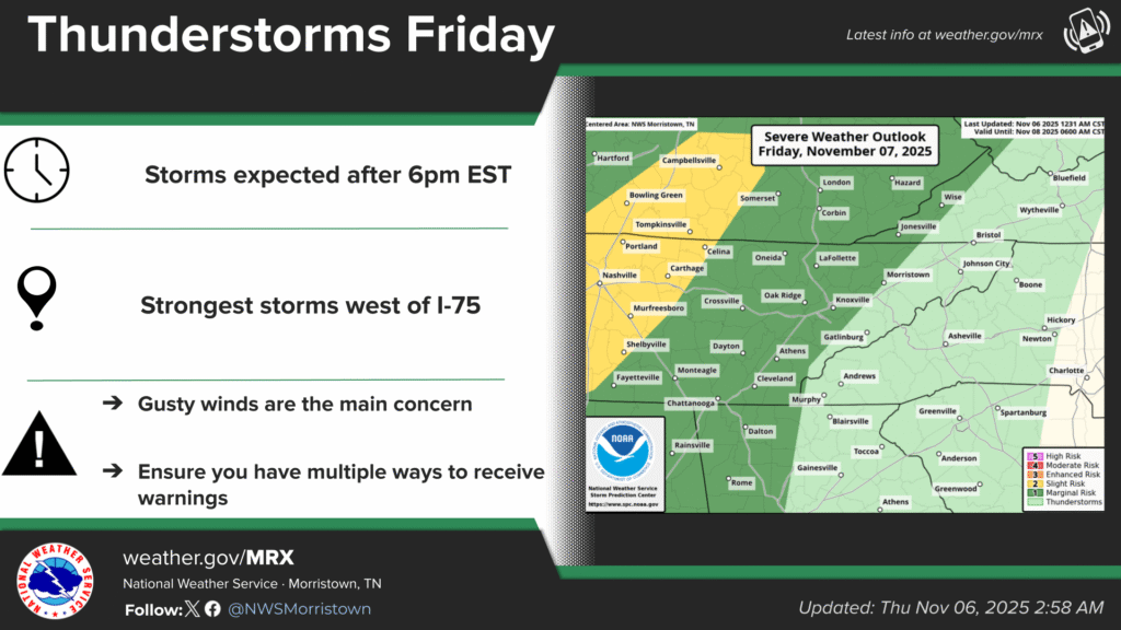
We have dry weather in place with a gradual warming trend this week, and then a weak trough/front will approach the area Friday and exit on Saturday, with showers and a low chance of thunder Friday night. Some of Friday’s storms could be strong to severe, 6pm-10pm, with damaging wind being the main threat.
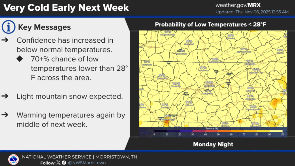
Much colder weather is expected by early next week behind a second cold front that will move across Campbell County and the region Sunday afternoon. Maximum temperatures will be near 20 degrees below average.
Light snow showers expected across the higher elevations of the Campbell County and area mountains Sunday night into Monday morning.
Monday brings the coldest day and night of the season so far, a high of 38 under cold sunshine ahead of a low of 21. (WLAF NEWS PUBLISHED-11/06/2025-6AM-IMAGES AND SOME TEXT COURTESY OF THE NWS MORRISTOWN)