.jpg)
There’s a chance of snow Friday afternoon through lunch Saturday
LAFOLLETTE, TN (WLAF)- Our next weather maker is coming to us from a different direction than usual. Most all of our weather comes to us from the west, a zonal flow, but not so these next couple of days. Moisture from the Atlantic is headed west across the Carolinas to us here in Tennessee. However, as it stands today, Campbell County is going to be on the tail end of the band of moisture.
There’s a chance of snow as early as late Friday morning as temperatures hold in the mid-30s during the day before dipping to 13 Friday night. Snow is likely Friday night with light snow accumulations expected. Snow totals could grow to as much as three-inches by the time the snow moves out around lunch time on Saturday. It’ll be a quick moving system. Folks to the south and east of Campbell County will likely suffer the brunt of this winter storm.
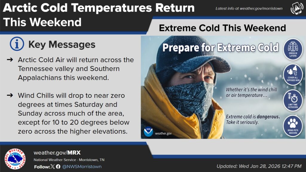
The dangerously cold temperatures take center stage beginning with a high of only 19 on Saturday ahead of a low of 7. Wind chills will be deathly cold.
A slow warming trend will follow next week with highs in the 40s by Tuesday. (WLAF NEWS PUBLISHED-01/29/2026-6AM-IMAGE COURTESY OF THE NWS MORRISTOWN)